 Login

Elon Musk Says SpaceX and Tesla Are Exploring a Merger
A deal would consolidate Elon Musk’s holdings in rockets, cars and artificial intelligence into a company worth well over $3 trillion.

 An uninvited encounter in orbit exposes a new vulnerability in the war over satellite intelligence.
A Russian satellite just took a very close look at an American spacecraft in low Earth orbit.
A few days ago, the snooping satellite Kosmos 2612 rendezvoused with ICEYE-X36, a commercial craft that observes our planet using synthetic aperture radar (SAR).
The close encounter, which occurred between Oct. 15 and Oct. 19, was reported by Marco Langbroek and other satellite trackers, with Langbroek calling it "a worrisome cat-and-mouse game" in orbit. The rendezvous has garnered a lot of attention in space circles, because it was non-consensual and startlingly close; at one point, the two spacecraft may have been separated by just a few meters. What did Russia hope to gain from it?
1/2New blogpost:"KOSMOS 2612 and ICEYE-X36: a worrisome cat-and-mouse-game in Space"(link to blogpost in next tweet) https://t.co/bzNtADpIrAOctober 17, 2026
A worrisome cat-and-mouse-game in Space
Dr, Marco Langbroek, satellite tracker
Before tackling that question, we need to set the stage a bit. For example, it's important to note that inspections aren't unheard of in the final frontier. Russia, the United States and China have all maneuvered satellites into close proximity of other nations' hardware in recent years.
Most of this activity has taken place in geostationary orbit, which lies 22,236 miles (35,786 kilometers) above Earth. At this altitude, orbital velocity matches our planet's rotational speed, allowing spacecraft to "hover" over one patch of Earth continuously. GEO is therefore a popular destination for spy, communications and weather satellites — and for spacecraft designed to shadow and assess them.
Kosmos 2612 is operating in low Earth orbit (LEO), which is part of the reason its activities have created such a stir. Neither China nor the U.S. has conducted an uncooperative rendezvous in LEO, as far as we know. But Russia has, according to Victoria Samson, chief director of space security and stability for the nonprofit Secure World Foundation.
"They've done a few," she told Space.com. "Kosmos 2543 got within about 30 kilometers [19 miles] of USA 245 in January 2020, and then Kosmos 2558 got within about 70 kilometers [43 miles] of USA 326 in August 2022. And they've done repeated approaches to 326."
Kosmos 2612 got much closer to its target than those other inspectors did, of course. And there's another big difference: USA 245 and USA 326 are classified spy satellites managed by the U.S. National Reconnaissance Office, while ICEYE-X36 is a private Earth-observing craft.
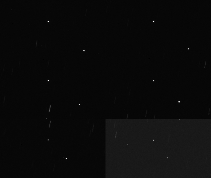
There are about 80 ICEYE spacecraft in LEO at the moment. They image our planet using SAR, which can peer through clouds and gather data both day and night. Some of these satellites are operated by ICEYE, a company based in Finland, while others are managed by its American subsidiary, ICEYE US. ICEYE-X36 is one of the latter.
At least some ICEYE satellites provide imagery to Ukraine, which Russia invaded in February 2022 and continues to assault with ground troops and missile and drone attacks. Indeed, ICEYE signed a contract this past January firming up this data-sharing relationship with Ukraine.
"The agreement ensures that the Ministry of Defence continues to receive a high volume of high-resolution satellite imagery through ICEYE's world-leading SAR constellation, supporting the Ukrainian Armed Forces with persistent situational awareness on tactical timelines," ICEYE representatives said in a January statement.
That likely explains Russia's interest in ICEYE satellites, which is extensive and longstanding. For example, Kosmos 2612 launched in April of this year with five other spacecraft. In May, four members of this fleet, including Kosmos 2612, conducted maneuvers to get into a co-planar orbit with ICEYE-X36. Such maneuvers use a lot of fuel and are therefore not performed lightly. (It's unclear if ICEYE-X36 is dedicated to capturing imagery of Ukraine or Russia, but Russia certainly seems to think it is.)
However, we still don't know the purpose of Kosmos 2612's close approach (which is apparently over, at least for now), Samson stressed.
There are a few possibilities. For example, Russia may want to get a better idea of ICEYE satellites' capabilities, and/or figure out what exactly they're studying on Earth below. Or maybe Kosmos 2612 was actively interfering with ICEYE-X36 in some way — messing with its sensors, perhaps, or blocking or intercepting its communications with the ground.
However, Samson leans toward another explanation.
"I think they're getting frustrated," she said of the Russians.
"They've been kind of in a stalemate, particularly for the past six months or so. And so I think it's just more a matter of demonstrating military prowess in a manner that the Ukrainians cannot respond to," she added. "The Ukrainians are just as good, perhaps even better than, the Russians on drones. But when it comes to space stuff, they're not peers, and this is just a way to remind everyone that that's the case."
As Kosmos 2612's activities show, space is becoming an increasingly competitive and contested domain. The U.S. has long held the advantage above Earth, fielding the most capable reconnaissance and communications craft, but Russia and China are challenging that dominance.
This drama is unfolding above our heads now, and it affects everyone on the planet. Samson therefore wishes that governments around the world were more forthcoming about their space activities — for example, that we learned about Kosmos 2612's shenanigans from the U.S .Space Force rather than from private companies and civilians who pore over government tracking data.
"I think it just speaks to the importance of transparency, and sharing information about these sort of things," she said. "As much as you may want to, you cannot keep the existence of satellites classified, because people can see them."

The space around Earth is turning into a junkyard. Researchers think a refundable deposit scheme could force satellite operators to clean up their act before a tipping point is reached.
For years, space sustainability experts have warned that the growing number of satellites in orbit and the quantity of dead metal left behind threatens to trigger a dangerous cascade of collisions known as the Kessler Syndrome. Predicted in the 1970s by NASA physicist Donald Kessler, this chain of orbital smashups could make the space around Earth unusable and unsafe.
The dangerous tipping might be nearer than some think. Humankind's utilization of space is at an inflection point, as companies such as SpaceX, Blue Origin and Amazon plan to launch constellations of hundreds of thousands of telecommunication satellites and orbiting data centers in the coming years.
"Low Earth orbit looks like lots of other resources that we have trashed as economic actors," Daniel Kaffine, a professor of environmental and resource economics at University of Colorado Boulder, told Space.com.
"Waiting until it gets really, really bad to start implementing any of these types of policy interventions has historically been what we have done," Kaffine added. "But maybe we can think about things we can do right now."
In a paper published last month in the journal Nature Communications, Kaffine and his collaborators propose a scheme that would require satellite operators to post a bond of $200,000 before launch, refundable with interest upon the completion of a successful deorbit. Companies that fail to remove their junk would lose the money, which could go toward a shared pool funding active debris-removal missions, the researchers said.
"You could possibly raise billions of dollars by that," said Kaffine. "We think it's a very neat policy that doesn't require international coordination."
International bodies, such as the Inter-Agency Space Debris Coordination Committee, ask satellite operators to remove their spacecraft from orbit within 25 years after the mission's end. The American Federal Communications Commission (FCC) imposes an even stricter standard — a five-year requirement for satellites in low Earth orbit. Still, a staggering 60% of satellites remain in place when their propellant runs out, the researchers say, as no consequences ensue if they fail to deorbit.
Solving the problem on the international level would be difficult, as international bodies have no powers to enforce compliance. Moreover, the United Nations Committee on the Peaceful Uses of Outer Space (COPUOS), which sets down rules for the peaceful exploration of outer space, requires the unanimous support of every member state to pass new regulations, which is nearly impossible to achieve.
"The policy we propose could be implemented on a national level, which is why we think it's interesting," Indigo Brownhall, a space sustainability researcher at University College London and the paper's lead author, told Space.com. "Any country in Europe can request satellites registered with them to follow this bond policy."
To put it simply, no satellite registered in a given country gets to space before putting the money into the kitty. The researchers acknowledge that it might be hard to persuade major players historically averse to regulations, such as the U.S., to roll out such a scheme. But they say a more environmentally conscious block, like the European Union (EU), could enforce compliance by limiting market access to those who observe their rules.
"The consumer market in Europe is massive, like 300 to 400 million people," Brownhall said. "And the EU can request anyone who wants to sell space data or any products in the EU to follow their rules. They did this with GDPR [General Data Protection Regulation]. And you can imagine that somebody like Starlink [SpaceX's satellite-internet subsidiary] surely wants to sell Starlink terminals to Europeans."
The authors estimate that, even if the scheme only covered 20% of global satellite launches, it would reduce the number of derelict satellites careening around the planet by 18%.
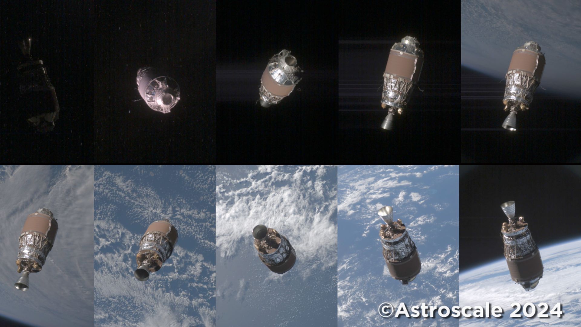
Currently, more than 57,000 pieces of space debris larger than 4 inches (10 centimeters) hurtle around Earth completely out of control, according to estimates by the European Space Agency. That's double the figure from less than 10 years ago. Most of these fragments were generated by explosions and orbital collisions that shattered satellites and used rocket stages into clouds of dangerous debris.
"Leaving big satellites that no longer work up there is like a ticking time bomb," Brownhall said. "Active satellites can move out of the way, but when two derelict satellites are going to hit each other, there is nothing you can do but watch it."
Kaffine said the policy could be modelled on U.S. oil operators' bond scheme, in place since the 1960s, which ensures that oil giants plug used oil wells after ceasing extraction.
"If the oil operators clean up after completing the oil production job, they get the money back," said Kaffine. "If they don't, the money goes into a fund, which the government then uses to clean up orphan wells. It's quite an analogous situation to what we see in space."
In the meantime, evidence of the worsening orbital situation is coming thick and fast. Space situational awareness companies such as U.S.-based LeoLabs, which use networks of ground-based radars and telescopes to monitor traffic in space, report increasing numbers of disintegration events — incidents involving either an explosion or a collision between old satellites, fragments and rocket bodies. In the past six months, LeoLabs has reported at least four fragmentation events in space, which together created hundreds of new pieces of space debris.
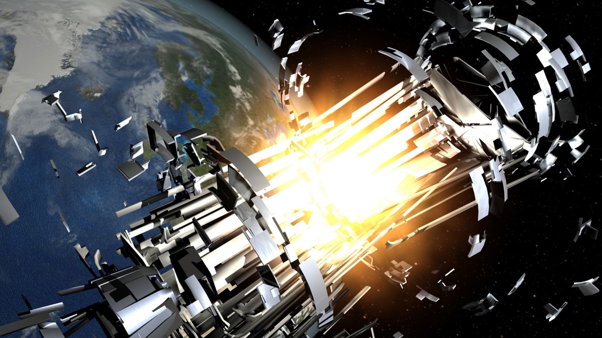
On Oct. 4th, 1957, at 10:29 PM Moscow time, the Soviet Union successfully launched Sputnik 1 into space on a repurposed R-7 rocket. The world’s first artificial satellite, Sputnik was about 22 inches (58 centimeters) in diameter and weighed 184 pounds (84 kilograms). Although there were no scientific instruments aboard, the transmitter it carried sentContinue reading "Oct. 4th, 1957: Sputnik launches"
The post Oct. 4th, 1957: Sputnik launches appeared first on Astronomy Magazine.
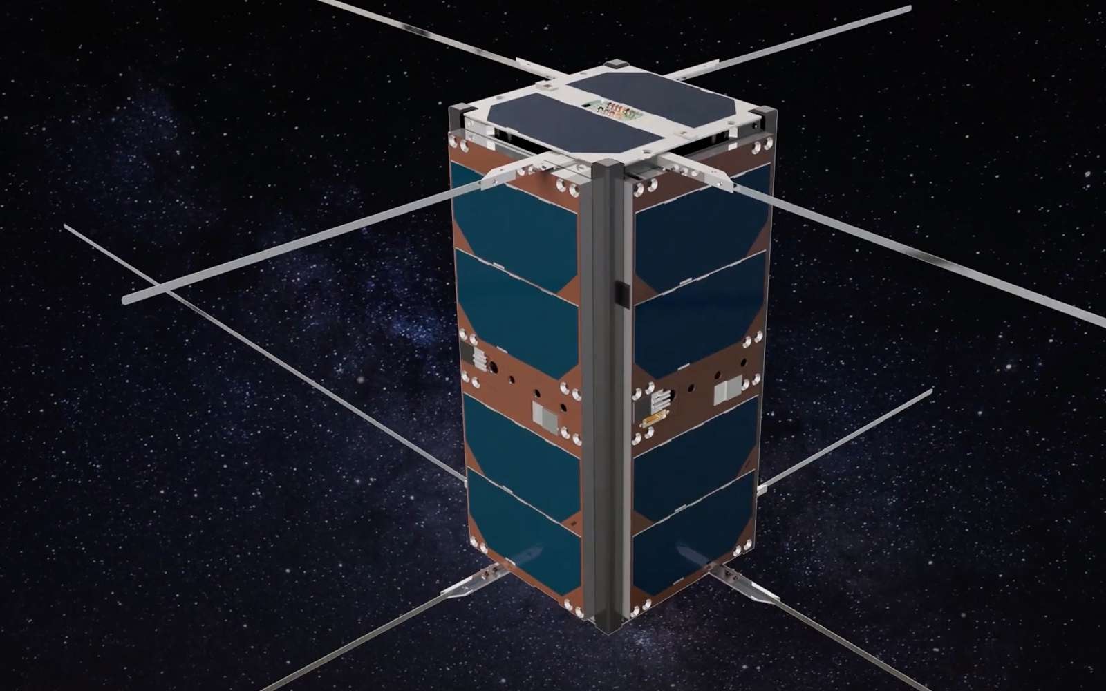
The U.S. Space Force is opening up about its operation of orbital weapons, but not much beyond admitting that they exist.
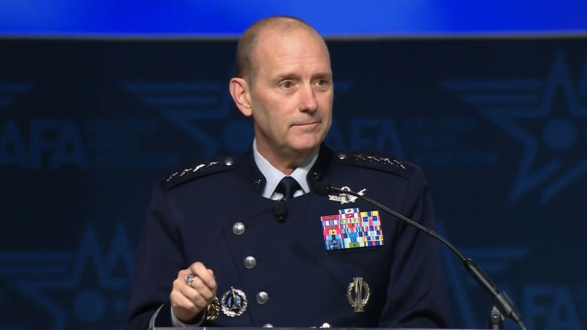
During a "State of the Space Force" address at the Air & Space Forces Association’s Air, Space & Cyber Conference in National Harbor, Maryland, on Tuesday (Sept. 15), Chief of Space Operations Gen. Douglas Schiess stated unequivocally that the Space Force uses active space-based weaponry to support United States national defense.
“Let me be crystal clear: Today, Guardians operate on-orbit weapons that can defend the joint force against space-enabled attacks,” Schiess said, referring to the official name for Space Force personnel.
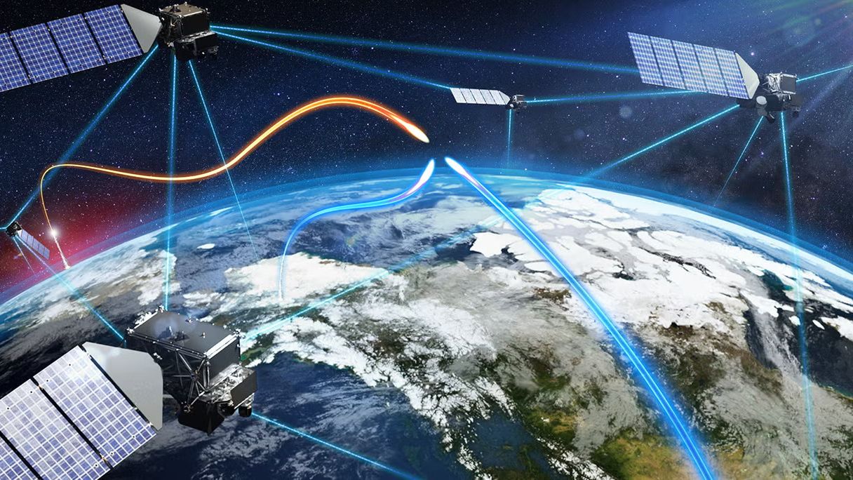
Space is central to national security infrastructure and warfighting efforts, and serves a critical role in how the military communicates, navigates, conducts operations and tracks threats globally. It’s become an increasingly contested domain, with adversaries developing technologies designed to disrupt or destroy satellites in orbit as well as hypersonic weapons that challenge ground-based-only defenses.
Schiess didn’t specify what kind of weapons the U.S. operates in orbit, how many there are, or what exactly they do. But the revelation that the Space Force is operating those kinds of assets is by itself a pretty hefty admission. The news expands the known scope of U.S. military activity in the final frontier, which already included the use of satellites for GPS, communications, missile warnings and other targeting and intelligence operations.
“Space is both a battlefield and the backbone of our joint force,” Schiess said. “We face determined and credible adversaries who are building counter-space systems at incredible speeds to target directly the United States’ space advantage.”
The chief adversaries are China and Russia, experts have said. Both nations have developed a range of counterspace capabilities intended to threaten or interfere with other satellites, including through electronic warfare and anti-satellite (ASAT) systems. Russia demonstrated as much in 2021, when it destroyed one of its own spacecraft with an ASAT missile, which created a cloud of more than 1,500 pieces of orbital debris.
The U.S. has been rapidly expanding its own military presence in orbit over the past decade or so, and is ramping up those efforts even more with plans for the implementation of President Trump’s Golden Dome missile interception system. In the last year alone, the Space Force has awarded more than $12 billion in major contracts to companies like SpaceX, Rocket Lab, L3Harris and Boeing for a wide range of services, including national security launches, space-based tracking satellites and other defense technologies.
Schiess pointed to the Victus Haze mission as an example of how the Space Force is getting ready to react to orbital threats on short notice. Rocket Lab carried out Victus Haze in June, launching an Electron rocket and interceptor spacecraft within just 17 hours of receiving notice from the Space Force, setting a launch turnaround record.
Schiess also highlighted the Space Force’s critical role in Operation Epic Fury and the ongoing engagement of U.S. military forces in Iran. “Guardians are not supporting from the sidelines as a nice-to-have, but we are delivering space power directly into the fight as a need-to-have,” he said. Schiess even gave an anecdotal example of the actions of one Guardian, “Specialist Gray,” in the heat of battle.
“Even as alarm red sirens were blaring and incoming missiles targeted her site, she courageously held the line, protecting forces, denying adversary capability, and delivering space effects until her commander had to literally pull her from the console to safety,” Schiess said.
Schiess described her operations before she was pulled from that console, giving some clue as to what exactly is meant by “on-orbit weapons.”
He said the Guardian in question needed to “reconfigure her weapon system and execute critical non-kinetic fires,” and went on to add, “She locked onto the target, optimized her weapon system and waged electromagnetic warfare against a determined adversary.”
Those descriptions offer at least some clues about the technologies involved. Phrases like “electromagnetic warfare” and “non-kinetic” could point to signal jamming technology or other non-physical means of disrupting a target.
Schiess said the Space Force intends to continue expanding its combat power with more robust architectures and the ability to respond with increasing speed to evolving threats. That proliferation on behalf of Golden Dome and other national security programs stands to deliver substantially more military hardware into orbit in the coming years, but Schiess framed the buildup around the prevention of conflict, rather than its provocation.
“Our aim is deterrence,” he said.
 America has crossed a rhetorical threshold in an increasingly militarized space race.
For decades, researchers have been monitoring armed conflict around the world by analyzing news reports and collecting oral testimonies. This approach, while valuable, has its limitations. A new study suggests that a satellite's view from above might fill the gaps in our understanding of the grim realities of war.
In 2017, the Myanmar Army murdered several hundred Muslim Rohingya civilians in the village of Chut Pyin near the country's western coast. Reports of the massacre in the settlement of about 2,000 reached the world through the testimonies of survivors who fled to neighboring Bangladesh. The massacre was part of a years-long campaign of brutality against the Muslim minority conducted by the Buddhist-run state. Satellite data later showed that houses in the predominantly Rohingya neighborhood were burned down by the Myanmar military during the atrocity, providing undeniable proof that the ethnic minority was targeted.
The incident is one of many demonstrating the advantage of adding views from space into conflict research, study lead author Valerie Sticher, a political science researcher at the University of Zurich in Switzerland, told Space.com.
"We have huge data sets about wars around the world going back 40 years," Sticher said. "But those datasets are based mostly on media reports. And these reports are not always available and not always reliable. Media can have biases and often focus only on certain types of violence."
For example, human reporters are more likely to focus on the numbers of people killed rather than the number of houses destroyed, she said. Satellites, on the other hand, provide a broad sweep over vast areas of land and, crucially, revisit the same location repeatedly. They can reveal patterns in conflicts and trends that could otherwise go undetected, while providing an overview of areas controlled by authoritarian regimes.
The researchers are now developing a methodology to integrate satellite observations into conflict research and create automated image analysis pipelines that would generate early warnings and alert the world to what's happening on the ground.
"Automated satellite data analysis would allow us to respond faster," said Sticher. "For example, in Myanmar, the area affected by ethnic cleansing was closed to independent journalists and investigators. Satellite data was the earliest reliable information to reach the outside world."
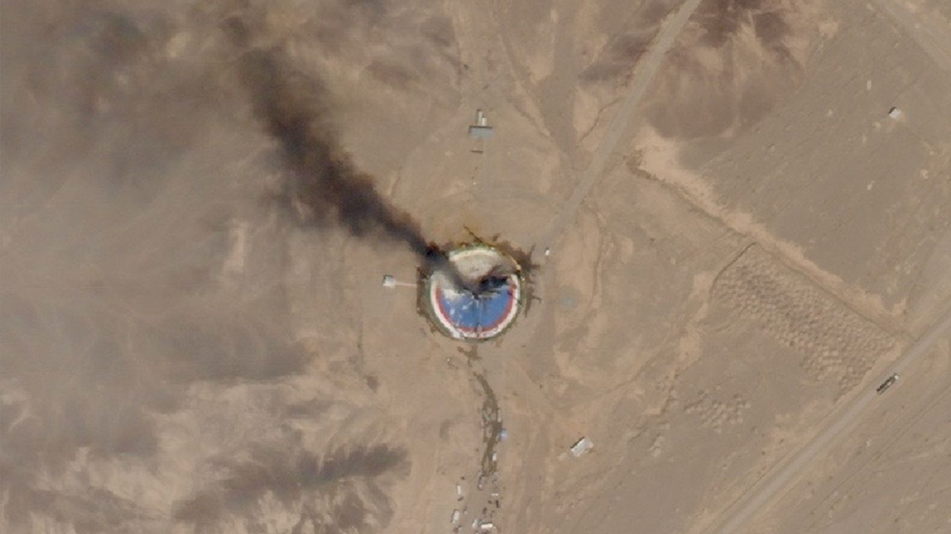
Hannes Mueller, a conflict researcher at the Spanish National Research Council, said that totalitarian governments can be very good at preventing information about atrocities from reaching the world. However, they can hardly fool satellites.
"In Myanmar, for example, when the military clears villages, they frequently kill everybody in those villages," he said. "Then you don't have any eyewitnesses for you to find out what's going on. But they usually also destroy the entire village, and so the violence leaves a mark from space."
Mueller was not involved in the new study but has used satellites in his work since the conflict in Syria in the early 2010s. He lauds the new paper for trying to "plot the road" for a more systematic integration of satellite data into conflict-monitoring data sets.
"Imagine we could generate a data stack of the entire world of all housing destruction since 2020 without any gaps in it," he said. "That would be a complete breakthrough!"
But satellites, too, have their limitations, he said. Currently, spacecraft must be tasked to take images and beam them to Earth. Because of the limited download availability, they can't image every spot they fly over, meaning they usually only reveal the aftermath of catastrophic incidents. For example, the Syrian city of Homs only became the focus of satellite imaging campaigns after the Syrian military attacked it with heavy artillery to suppress pro-democracy protests.
"There are no images of Homs before it got attacked," said Mueller. "There is no archival data of the city from before. Then, after the attack, you suddenly get lots."
In the future, onboard AI image processing — which some of the commercial satellite Earth-observation companies have already rolled out — might solve the problem. Machine learning algorithms running on computers on board the satellites will be able to detect incidents of potential interest and autonomously select significant images to send to the ground.
But there are other concerns. Just as authoritarian regimes can deny access to warzones to independent journalists, governments can order Earth-observation companies to restrict access to images of specific areas. In fact, the U.S. government did just that earlier this year when it ordered American commercial Earth-observation providers like Planet Labs to stop releasing high-resolution images of the Gulf of Oman and the Strait of Hormuz amid the escalating conflict in the region. The U.S also asked Europe to delay releasing images of that region captured by the European Sentinel satellites by 24 hours.
"With that, we are back to the same biases that we have with the news reporting," Mueller said. "We need to think about infrastructure that would provide us with transparency. That would really be a revolution in conflict research."
The new study was published in the journal Nature on Sept. 9.
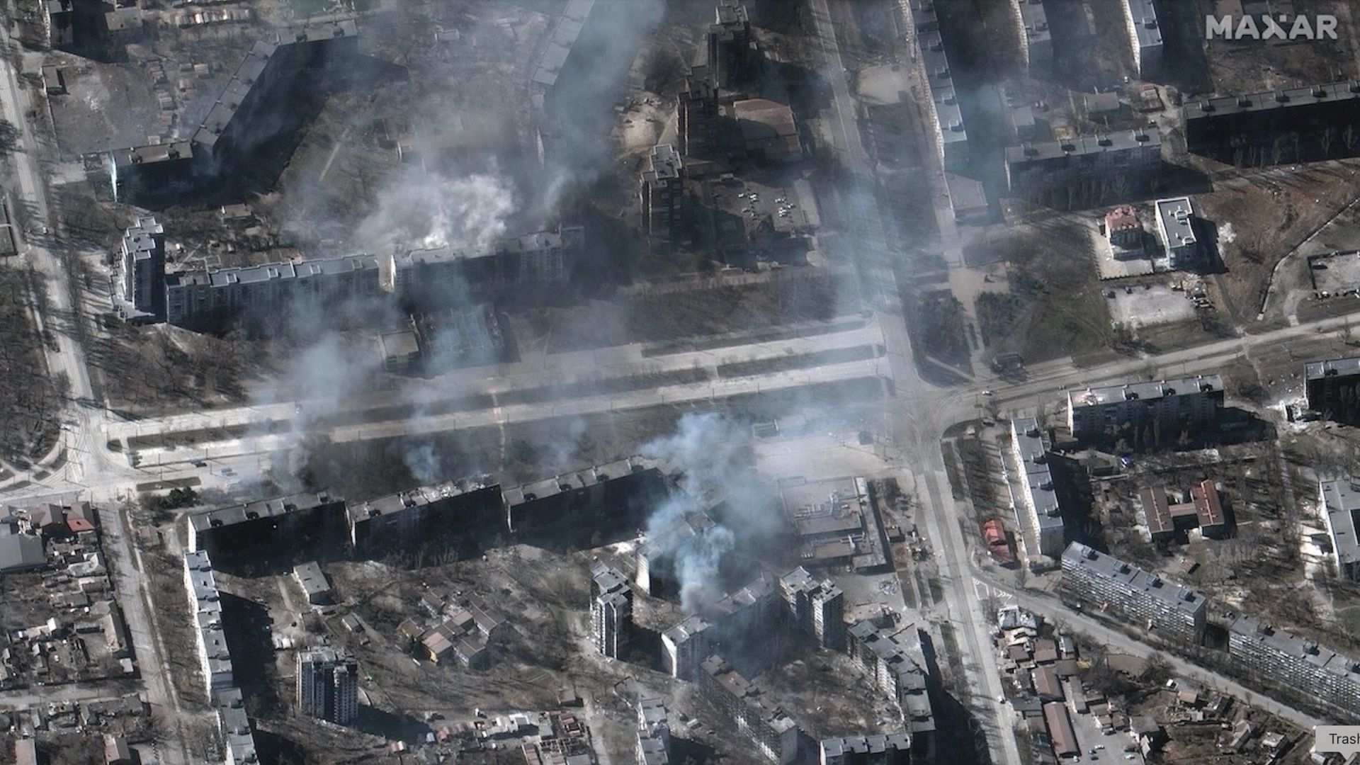
A pair of private spacecraft just showed off some impressive maneuverability high above Earth.
The two probes — Mira satellites operated by the California startup Impulse Space — zoomed within 650 feet (200 meters) of each other in low Earth orbit (LEO) recently. The rendezvous demonstrated skills that could be useful to a variety of customers down the road, according to the company.
"These types of dynamic, agile maneuvers are how we unlock full access to space after launch and create new mission possibilities," Tom Mueller, CEO and founder of Impulse Space (and, prior to that, the first person Elon Musk ever hired at SpaceX), said in a statement on Tuesday (Sept. 8). "Our teams that design, build and operate Mira are leading the way toward a true space age, and customers across all sectors will be the beneficiaries."
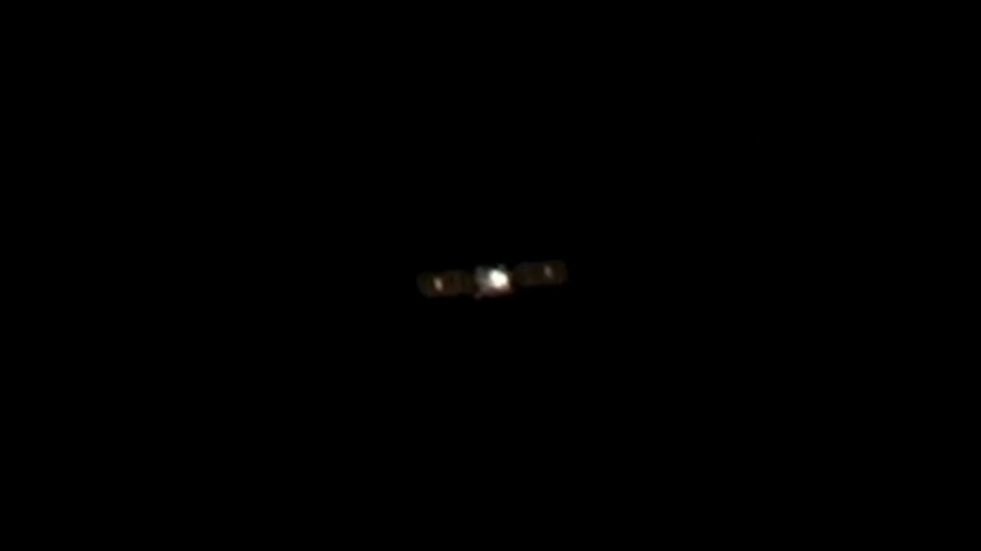
Mira is an orbital transfer vehicle — a spacecraft designed to deliver customer payloads to precise locations in Earth orbit or beyond. The dishwasher-sized Mira can carry up to 660 pounds (300 kilograms) of gear and is highly maneuverable, as the recent rendezvous showed.
The operation involved Mira satellites that launched in January 2025 and November 2025, on missions that Impulse calls LEO Express 2 (LEO-2) and LEO Express 3 (LEO-3), respectively.
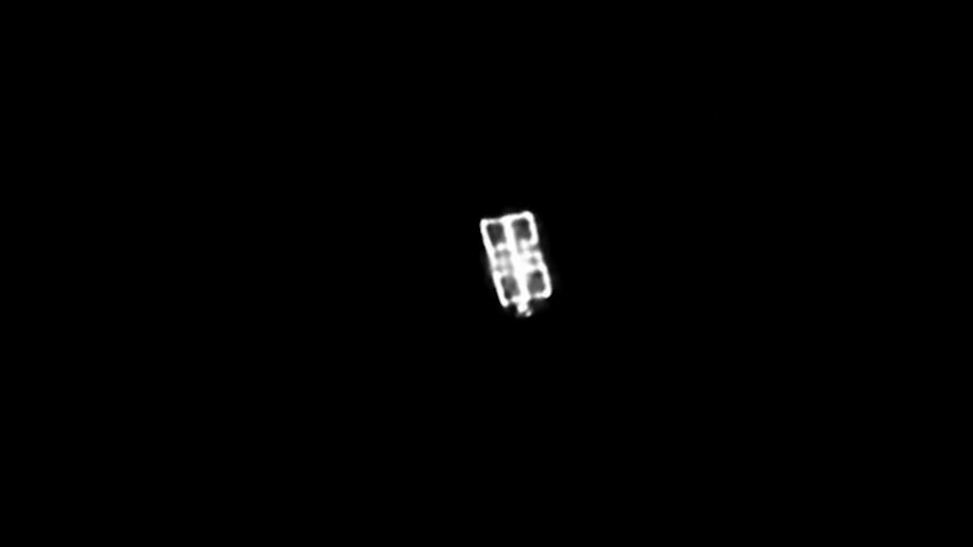
The action began this past February, when the LEO-2 Mira conducted a lengthy engine burn to close in on its counterpart. LEO-2 performed additional, smaller burns throughout the spring and summer, coming into orbital alignment with LEO-3.
"Then in July, LEO-2 executed a series of close approaches to LEO-3, starting at about 820 meters [2,690 feet] apart and subsequently moving closer to LEO-3," Impulse Space wrote in the Tuesday update. "Ultimately, for the closest approach, LEO-2 maneuvered to within about 200 meters of LEO-3."
Both Miras chronicled the rendezvous, snapping photos of each other with onboard camera gear. Two other companies, Starfish Space and HEO, worked with Impulse Space to pull off this orbital photo shoot.
Two Miras — less than 200 meters apart! Our LEO Express 2 and LEO Express 3 spacecraft recently met for a family reunion in orbit, following a series of carefully coordinated maneuvers that brought the two vehicles within approximately two football fields of each other.The… pic.twitter.com/XoHgOzjuaLSeptember 8, 2026
Impulse has worked with Starfish before. The duo collaborated late last year on a rendezvous between LEO-2 and the first space-flown Mira, which launched on the Leo Express 1 mission in November 2023.
On that operation, called Remora, LEO 2 used Starfish Space navigation software to get within 4,100 feet (1,250 m) of LEO 1.
"We're showcasing some of the advanced capabilities that set Mira apart from other vehicles," Drew Damon, vice president of spacecraft programs at Impulse, said in Tuesday's statement. "Twice now, we've demonstrated that Mira has the agility and propulsion to support a new class of dynamic operations on orbit, and our team is excited to continue tackling the mission sets Mira is uniquely qualified to handle."
Impulse is not alone in developing and demonstrating orbital maneuverability. Such skills are a key priority of national governments, which want to service and upgrade their own satellites — and keep tabs on the activities of adversary craft. For example, earlier this year, two Russian spacecraft got within a mere 10 feet (3 m) of each other high above Earth.


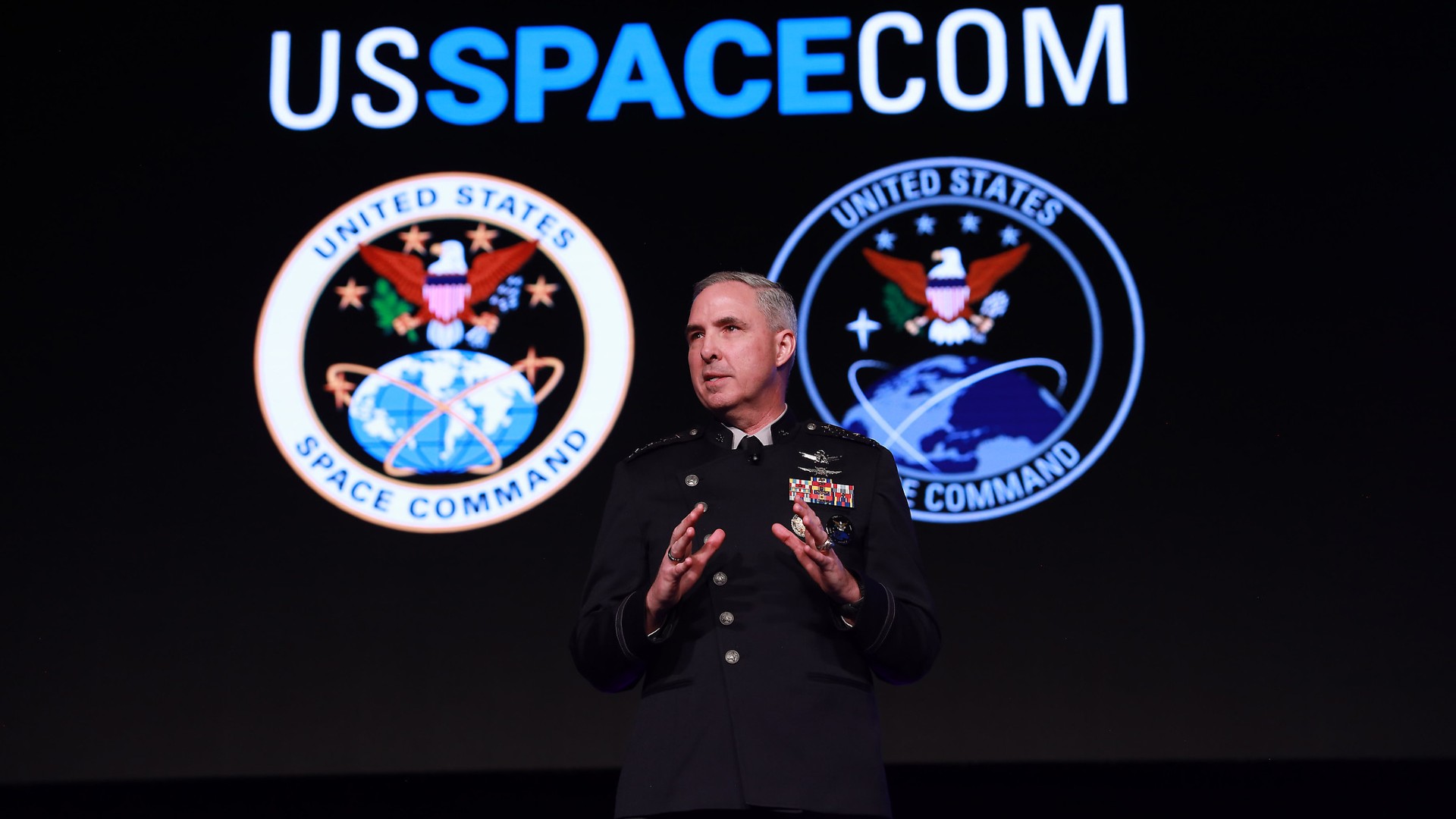
United States Space Command just held its first-ever "Apollo Maneuvers" exercise, which saw spacecraft maneuvering through simulated contested environments.
U.S. Space Command combines assets and personnel from each U.S. military branch (including the U.S. Space Force) to project American military power into and from orbit. It's unclear which or how many satellites or spacecraft took place in Space Command's recent Apollo Maneuvers 2026, but the exercise involved international partners, according to a command statement. What is known is that the exercise aimed to demonstrate "dynamic on-orbit operations, validate contested logistics and advance collective space maneuver doctrine."
To put it in plain English, this means that Space Command practiced maneuvering satellites and other spacecraft in proximity to one another in a simulated conflict environment, in order to continue refining the "orbital dogfighting" that the U.S. military has been hinting at for some years.
In military terms, dogfighting refers to the close aerial combat that fighter jets engage in, pitting two or more pilots against one another in contests of flying ability and firepower.
In terms of space, this involves "objects in space maneuvering in and out and around each other in synchronicity, and in control," according to Space Force's Vice Chief of Space Operations Gen. Michael A. Guetlein.
“That's what we call dogfighting in space," Guetlein told attendees at a conference in 2025, according to Air & Space Forces, while speaking about Chinese satellite operations observed in 2024.
From statements that U.S. Space Command leadership gave about its recent exercise, it sounds like Apollo Maneuvers practiced just that, but in space.
"We will take some of our existing satellites and work with partners to demonstrate what are some of the requirements and capabilities to be able to maneuver for advantage, not just maneuver when you have to change your orbital position," Space Force Gen. Stephen N. Whiting, commander of U.S. Space Command, told reporters last month during a briefing at Redstone Arsenal in Alabama, according to Air & Space Forces.
"The side that can maneuver persistently and at scale will set the operational rhythm in orbit."
When it comes to space and what appears to be the inevitability of a conflict extending to Earth orbit, we're still not quite sure what that will look like. But several nations have been developing capabilities and concepts for maneuvering satellites in close proximity to other satellites with the intent to destroy or disable them, or to deny or degrade their communications or intelligence-gathering capabilities.
The U.S. Space Force, in particular, has been developing an operations framework for fighting a war in space and has held multiple training exercises aimed at practicing "orbital warfare."
But Space Force and U.S. Space Command still appear to lack many of the technologies they say they need to wage such warfare. Speaking at the Space Foundation's Space Symposium in 2025, Whiting stated that that the United States needs "orbital interceptors" to fight in space.
"And what do we call these?" Whiting rhetorically asked attendees. "We call these weapons, and we need them to deter a space conflict and to be successful if we end up in such a fight."
But U.S. Space Force has ordered and executed recent missions that have demonstrated capabilities and technologies along the lines of what Whiting described.
In June 2026, for example, a Rocket Lab Electron rocket sent one of the company's Puma satellites to orbit, where it rendezvoused with a True Anomaly Jackal spacecraft that launched a month earlier. Once both spacecraft were in orbit, they maneuvered close to one another to simulate "dynamic engagements."
The mission showed Space Force's "readiness to lean on our commercial partners to deny, disrupt and counter any adversarial advantage — no matter where they try to operate in space," according to a Space Force statement.
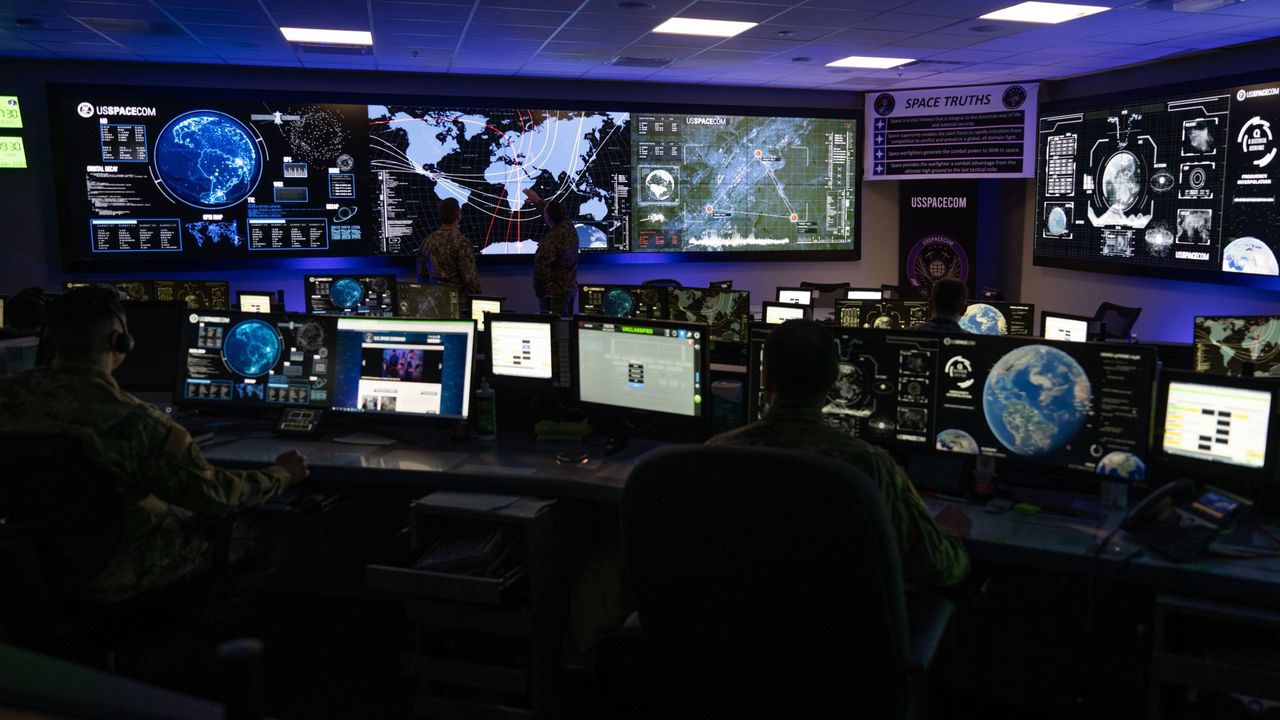
Chinese scientists at the Beijing Institute of Technology have run satellite proximity simulations to extend potentially hostile observation of U.S. space assets in Geostationary Earth Orbit (GEO), seemingly inching both countries closer to a potential war in space.
Although the new simulations focus on orbital adjustments to extend observation times and increase proximity to U.S. satellites, including critical missile warning and other space defense-oriented systems, Chinese scientists also plan to integrate reinforcement learning methods into future space assets to give satellites even more independence from human operators.
In the 20th century, the concept of war in space remained mostly in the realm of science fiction, as depicted in popular films like Star Wars. Today, advances in space access, orbital maneuvering technologies, and weapons systems have made the possibility of a future conflict in space a very real security concern, and several nations engage in espionage using reconnaissance spacecraft to obtain information on valuable defense targets in Earth’s orbit.
According to the authors of the new study, “acquiring multi-aspect payload information of non-cooperative targets to infer their functions and mission statuses is of great significance for space security assessment.”
The study authors highlight a series of relative motion configurations that modern spy satellites employ, including fly-around, hovering, and drifting flight. They also point to real-world “adversarial” U.S missions they suggest were designed to gather intelligence on their GEO defense assets.
“Since 2014, the US GSSAP (United States Geosynchronous Space Situational Awareness Program) satellite has carried out hundreds of maneuvers and has conducted close observation operations on dozens of normally working satellites near GEO orbit,” the Beijing University of Technology scientists write.
The study authors also include a specific July 2021 accusation, where they charge that “the U.S. satellite ‘USA-271’ deliberately approached the operational ‘Practice 20’ satellite in geostationary orbit and flew in close proximity.”
In an email to The Debrief, a U.S. Space Command Spokesperson did not address the specific incident or the accusations of “dozens” of similar operations, but offered some insight into the agency’s thinking.
“USSPACECOM, working with allies and partners, plans, executes, and integrates military spacepower into multi-domain global operations in order to deter aggression, defend national interests, and when necessary, defeat threats,” the spokesperson told The Debrief, adding that “we have nothing additional to add in response to the article.”
In a step toward potential dogfights between satellites, the Chinese scientists looked at several challenges faced by current spy satellites.
For example, they explain, since most spacecraft observation cameras are mounted in a fixed position, “frequent large-angle attitude maneuvers are time-consuming and consume substantial fuel.” The researcher also noted that several different angles and approaches could yield different categories of intelligence data.
However, changing angles and orbital planes requires fuel, an extremely limited resource in GEO. Therefore, the researcher accounting for all the variables required to gather intelligence on adversarial spacecraft as efficiently as possible “has become a key bottleneck in enhancing space situational awareness capabilities.”
To find an optimized solution, the team designed what they called a “waypoint trajectory planning scheme” and a “multi-impulse maneuver strategy” using a common game-theory tool called “minimum integral squared control” theory. Unlike previous research aimed at extending spy satellite observation time and fuel efficiency, the Chinese scientists said their use of sequential coalition game theory “is introduced for the first time into the multi-model combined observation problem.”
Next, the researchers designed a “game tree.” A press release said this approach lets the spacecraft select the “optimal combination of initial motion points and close-range operation models at each stage under minimum fuel constraints, thereby generating an optimal observation strategy sequence.”
Finally, the researchers ran simulations to see whether their approach improved sensor observation times and field of view while reducing fuel use.
As hoped, the Beijing University of Technology team said their simulations supported the theories. Specifically, the study authors said the simulations showed that their spacecraft efficiency algorithm “can successfully generate a multi-model combined observation strategy sequence under minimum fuel constraints.”
“The effective observation time increases with larger observation distances and field-of-view angles, and reducing the model configuration size also contributes to improved observation performance,” they explained. The study authors also said that the simulation results “demonstrate that the algorithm can successfully generate the optimal combined observation sequence under minimum fuel constraints.”
When discussing next steps, the Chinese scientists said they will explore optimal initial points to further improve maneuver efficiency. They also plan to explore a “reinforcement learning method,” suggesting future spacecraft could learn and adapt to evolving conditions to further enhance their cold war in space information-gathering capabilities.
To understand the potential implications of the Chinese study, including its impacts on a potential future war in space, The Debrief reached out to former U.S. Air Force officer Shelli Brunswick, CEO and Founder, SB Global LLC.
According to the author and futurist, the Chinese team’s research matters not just because it proves China has deployed a “new operational surveillance capability.” Instead, Brunswick said that the work is significant because it “illustrates how sophisticated coordination and optimization could make spacecraft observation more efficient, persistent, and strategically useful.”
The Blue Marble Space Visiting Scholar also told The Debrief that the work “should not be interpreted as demonstrating a complete pursuit-and-evasion capability against a spacecraft that is actively responding,” since the work assumes a stationary target without maneuvering capabilities. Still, Brunswick noted, the Chinese framework “shows how game-theoretic planning could help an observing satellite gather information from multiple angles while managing limited resources.”
When discussing the potential implications for the broader U.S.-China space-security competition, including how such enhanced spacecraft could lead to more activities that could be construed as hostile, the space strategist said this area of research “extends beyond any single algorithm.”
“As rendezvous and proximity operations become more sophisticated, the line between inspection, space situational awareness, intelligence gathering, and potentially threatening behavior becomes increasingly difficult to interpret,” she explained.
When suggesting what potential strategic responses the U.S. and its allies might employ in the emerging cold war in space, Brunswick told The Debrief that they should include “more resilient architectures, improved space-domain awareness, clearer expectations for close approaches, stronger communication mechanisms, and deeper coordination with commercial and international partners.”
“The challenge is not simply detecting another spacecraft—it is understanding capability and intent early enough to respond responsibly and effectively,” Brunswick explained.
The study “Spacecraft Proximity Operation Model-Based Sequential Coalitional Observation Game Strategy Design” was published in Space: Science & Technology.
Christopher Plain has spent the last six years as Associate News Editor and Head Science Reporter at The Debrief. Follow and connect with him on X, learn about his novels at plainfiction.com, or email him at christopher@thedebrief.org.
